


The "Braslau Lakes" National Park has launched a new digital service for fishing enthusiasts. Interactive depth maps of local reservoirs have appeared in the "Fishing" section on the park's official website, writes Times.by.
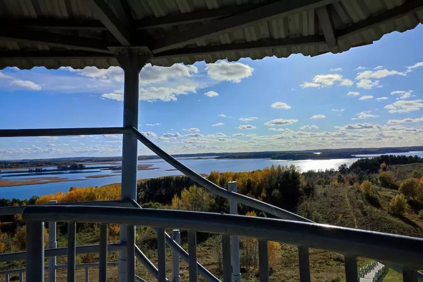
At the first stage, detailed bathymetric data for six lakes were uploaded to the system: Dryviaty, Yelna, Vialikaja Yelnia, Zolava, Albienauskaje, and Miadzviedna. In the future, the service is planned to be extended to all reservoirs of the Braslau region. For example, the map of Lake Snudy is expected to be added by early 2027.
The service allows the use of a two-dimensional map with geolocation. It works by subscription and connects to the smartphone's GPS. With navigation enabled, a fisherman can see their location on the lake, record routes, and save the coordinates of promising fishing spots.
For an additional fee, access to three-dimensional models of the bottom relief can be obtained. The service also offers tips on places where certain species of fish are more frequently found. Thus, fishermen can study the depths and relief of the reservoir in advance, navigate on the water using GPS, and save the coordinates of successful spots.
-
A Guy Came from Yemen to Become a Dentist, and in 10 Years He Almost Became Belarusian
-
In Gomel, an old motor ship floated on the Sozh without a crew on board
-
Half were denied, a third were granted refugee status. August results of reviews of Belarusians' applications for international protection in Poland have become known


"Didn't like the products on the shelf — and they write an SMS there." The Ministry of Internal Affairs called Threads a security threat and announced arrests


Comments